Vancouver’s compact footprint, dramatic waterfronts and layered neighborhoods make it a standout city for getting around without a car. Today’s emphasis on active transportation and green transit has transformed how residents and visitors explore the city—whether on foot, by bike, or using efficient rapid transit and ferry links.
Why active travel works here
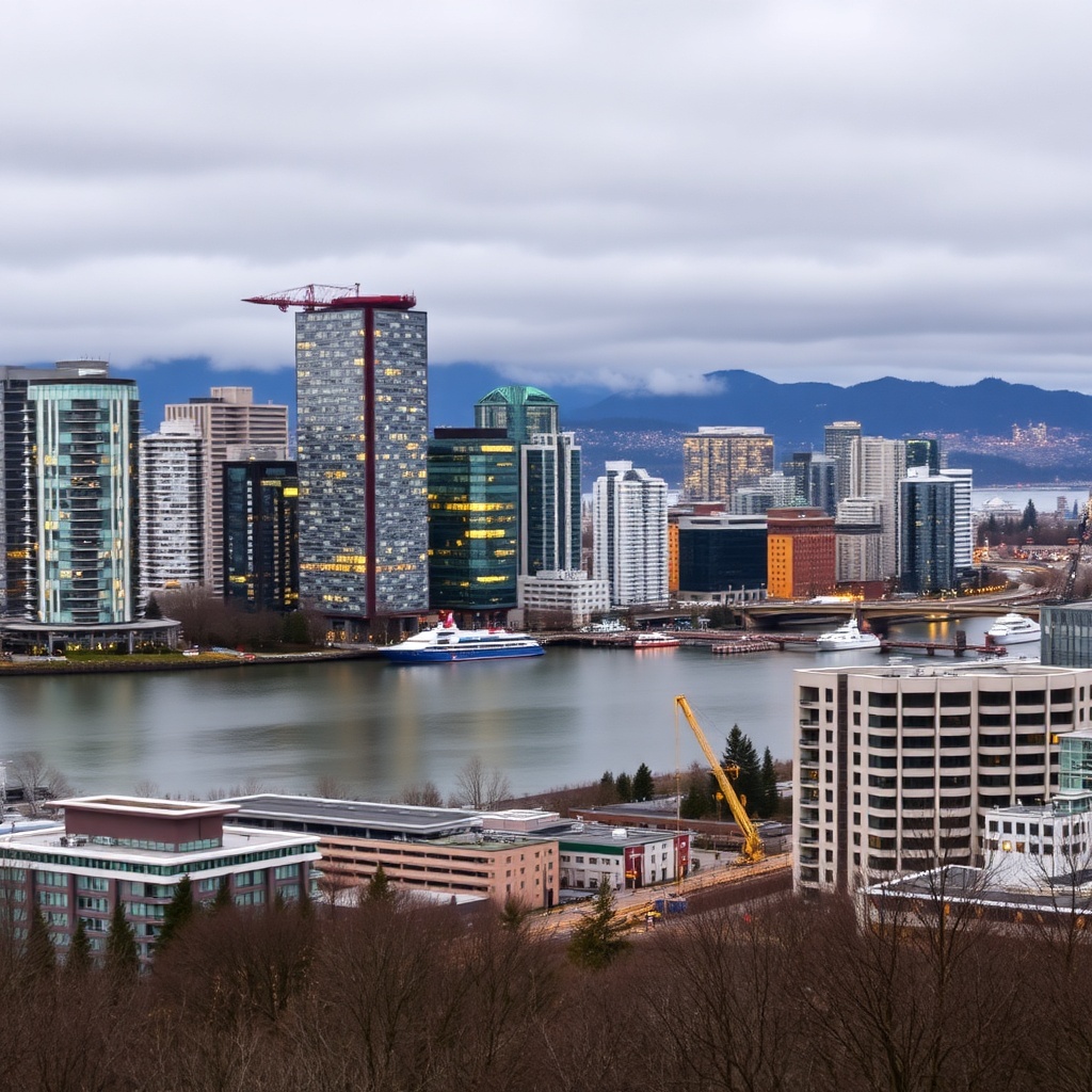
Vancouver’s natural layout—a peninsula flanked by ocean and mountains—creates concentrated neighborhoods connected by a dense street grid and scenic multi-use routes. The Stanley Park Seawall remains an iconic, mostly flat route for walkers and cyclists, while the Seaside Greenway stretches through downtown, Kitsilano and False Creek, offering uninterrupted water views and easy access to beaches, markets and cafes. On the north shore, short ferry crossings open up trails and viewpoints in a handful of minutes.
What’s improved recently
City planning has prioritized protected bike lanes, expanded pedestrian zones and upgraded curbside infrastructure. These changes make everyday trips safer and more pleasant, encouraging short commutes by bike or on foot.
Public transit integrations—rapid rail, buses and the ferry network—mean mixed-mode trips are simple: park a bike at a station, hop a rapid train, then walk a short distance to a destination.
Top routes and neighborhoods to experience
– Seawall and False Creek: Start at Coal Harbour, circle Stanley Park, then follow the Seaside Greenway around False Creek. Expect continuous waterfront vistas, public art and frequent places to stop for a snack.
– Granville Island to Kitsilano: Cross a pedestrian-friendly bridge to Granville Island’s market, then continue west to Kits Beach and neighbourhood shops.
– Commercial Drive and Main Street: These streets showcase neighborhood life—cafes, independent shops and easy sidewalks for strolling.
– North Shore access: Take the short ferry across to explore Lynn Canyon, Capilano trails or Grouse slopes, then return to the city in time for dinner.
Practical tips for a smooth trip
– Check the weather and dress in layers—coastal microclimates change quickly. A compact rain layer and comfortable footwear go a long way.
– Use a mix of transit and cycling: many stations have secure bike parking, and the city supports mixed-mode commuting.
– Follow multi-use pathway etiquette: keep to the right, pass on the left, give an audible signal when passing, and slow down near pedestrians and families.
– Bring lights and reflective gear if you’ll be out near dusk—urban areas are well lit but bike visibility is still important.
– Opt for docked bike-share or e-bike rentals for short outings; rental shops also offer guided rides if you prefer a local perspective.
Apps and planning
Local transit and mapping apps make route planning seamless—look for ones that show live transit arrivals, bike lanes and multi-modal trip suggestions.
Many apps also include elevation and surface-type info, helpful for choosing a flatter or more scenic route.
Why it matters
Shifting trips from cars to walking, cycling and transit reduces congestion, improves air quality and enhances neighborhood life. For anyone visiting or living here, adopting active travel unlocks quieter streets, clearer views and a more intimate connection to the city’s parks, waterfront and urban culture.
Whether you’re aiming for a scenic loop, a commute that feels more like a short adventure, or simply a leisurely market run, Vancouver’s active-transport network makes it easy to leave the car behind and discover the city at human scale.